AGRO 4092-02: R for Spatial Analysis & Visualization (2 CR, as Special topics in Soil Science)
This course focuses on hands-on knowledge of accessing, analyzing, and visualizing open-source satellite remote-sensing and geospatial datasets for hydrological, agricultural, and climatological studies within the R environment.
The objective of this course is to learn R tools for i) analyzing geospatial datasets (raster and vector) ii) performing statistical analysis for each feature/ layer, and iii) mapping and visualizing spatial datasets.
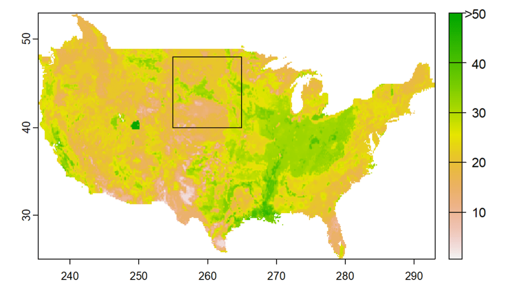
The course includes the latest R tools for working with global earth observational datasets, such as from NASA’s MODIS and SMAP satellites. Basic operations of geospatial analysis such as (re)projection, (re)sampling, summary statistics, merge/join, and (re)shape are covered. The students are introduced to structured/layered spatial datasets such as NetCDF and HDF formats used in climate modeling. Special emphasis is placed on the application of available out-of-the-box parallel computing techniques for geospatial analysis available in R.
Course notes and material (codes and dataset) is freely available on GITHUB.
AGRO 4077: Environmental Soil Physics (3 CR)
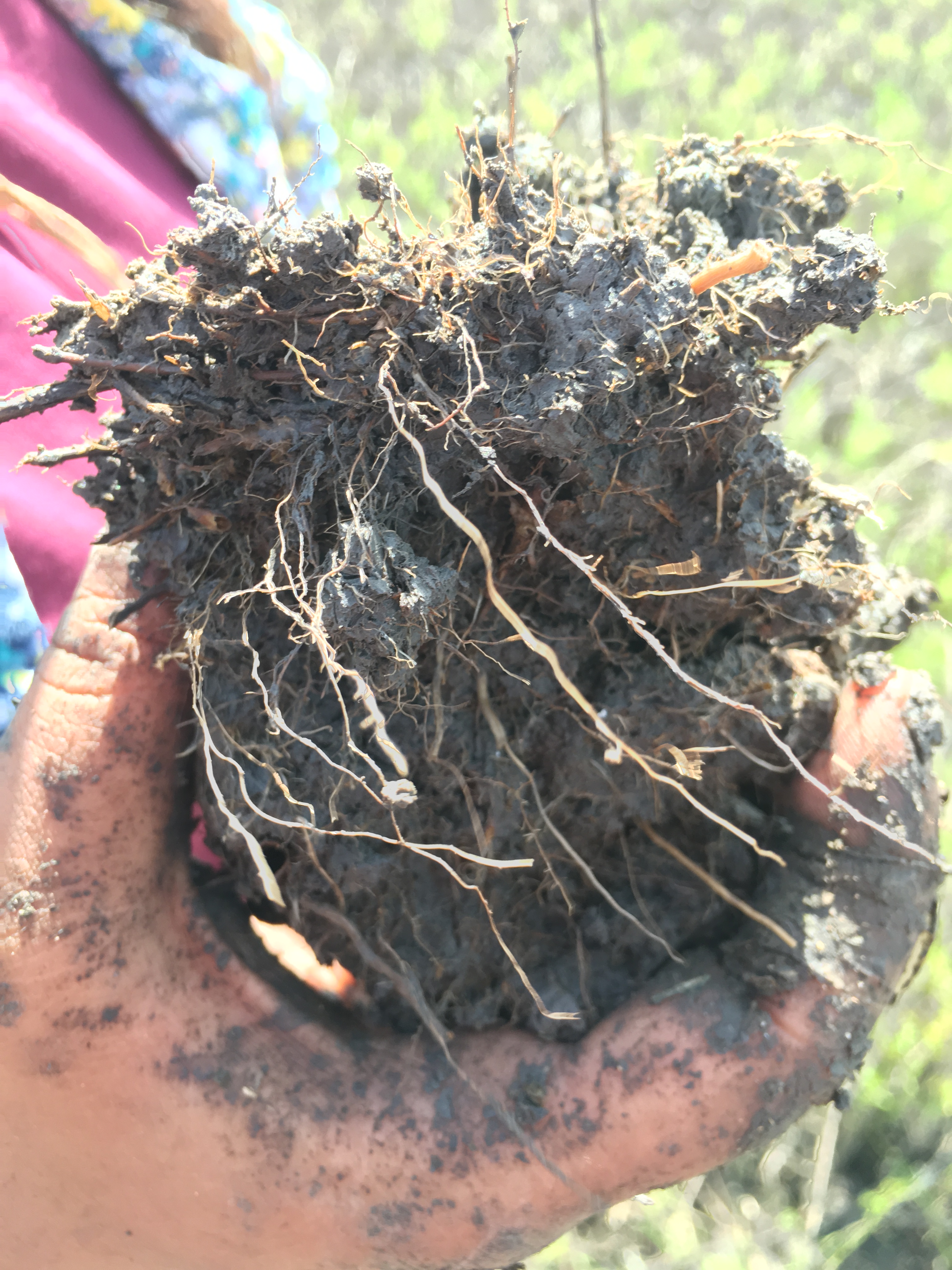
The physical soil system; the soil components and their physical interactions; processes involving water flow in saturated and unsaturated soils, air, and heat; fate and transport of applied chemicals in the soil profile and processes governing the mobility of contaminants. The course has the following objectives:
- To understand soil physical properties and measurements
- To study the basics of key hydraulic and hydrologic characteristics of soil
- To study dynamic water and energy state in soil system and its impact on soil-plant-atmospheric interactions